Emily Turteltaub Nelson · CC BY 4.0
Global can conceal local.
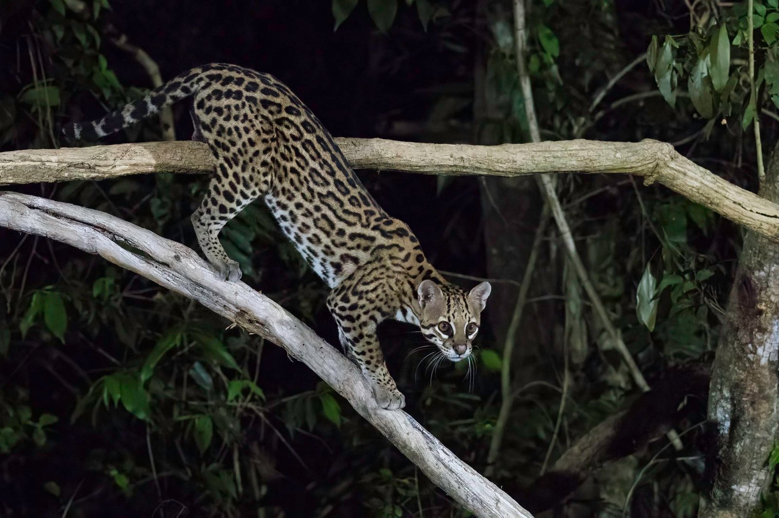
A range-wide picture can look very different from the reality at its edge. The Ocelot shows why local conservation evidence must keep its location attached.
Global security can conceal a severe local crisis
Conceptual comparison, not measured data.Its world.
Its conservation.
Restore dense corridors
Native brush, forest fragments, wetlands, and buffer zones can reconnect breeding populations across agricultural and urban landscapes.
Build roads an ocelot can survive
Wildlife crossings, fencing, slower traffic, and hotspot monitoring reduce mortality and reconnect movement routes.
Reward coexistence on private land
Camera-based incentives and conservation partnerships can make living ocelots an asset to the people who share their range.
Emily Turteltaub Nelson · CC BY 4.0
Keep the method
in the picture.
Local monitoring describes a defined population; its results cannot automatically be scaled up to the species worldwide.
What don’t we know?
What makes isolated populations viable where habitat is limited and connections are difficult?
Geographic context
The Americas.
This is geographic context, not a mapped distribution. Range polygons require taxon, date and reuse review before publication.
A different cat.
A different question.
Sources & Research Notes
Inherited research adapted to the locked editorial lesson; current assessment and independent scientific sign-off pending.
- IUCN SSC Cat Specialist Group · Ocelot
- CATnews · Cats of the World: snapshots (2011; historical reference)
Assessment year and field-data period are different. A source check does not update an assessment.